
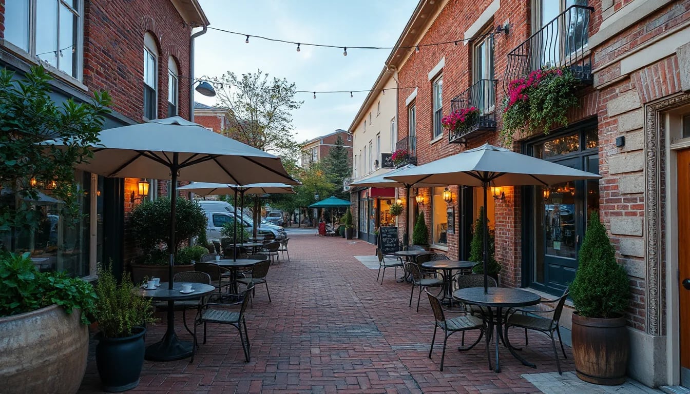
Sullivan’s Island offers a coastal setting with public beach access, parks, historic landmarks, and routes to Mount Pleasant and downtown Charleston. Before making a move, it helps to look beyond the home itself: confirm current school assignment information, test commute routes at the times you travel, and spend time exploring the island’s public spaces firsthand.
Start With the Daily Rhythm of the Island
Sullivan’s Island is a small barrier island at the entrance to Charleston Harbor, known for its broad beach, maritime landscape, historic Fort Moultrie setting, and low-density residential character. It is connected to Mount Pleasant by the Ben Sawyer Bridge, with Isle of Palms located to the northeast and downtown Charleston reachable by routes through Mount Pleasant. That geography shapes everyday planning: a trip to a grocery store, a medical appointment, an office, or a waterfront walk can involve different bridges and traffic patterns depending on the destination.
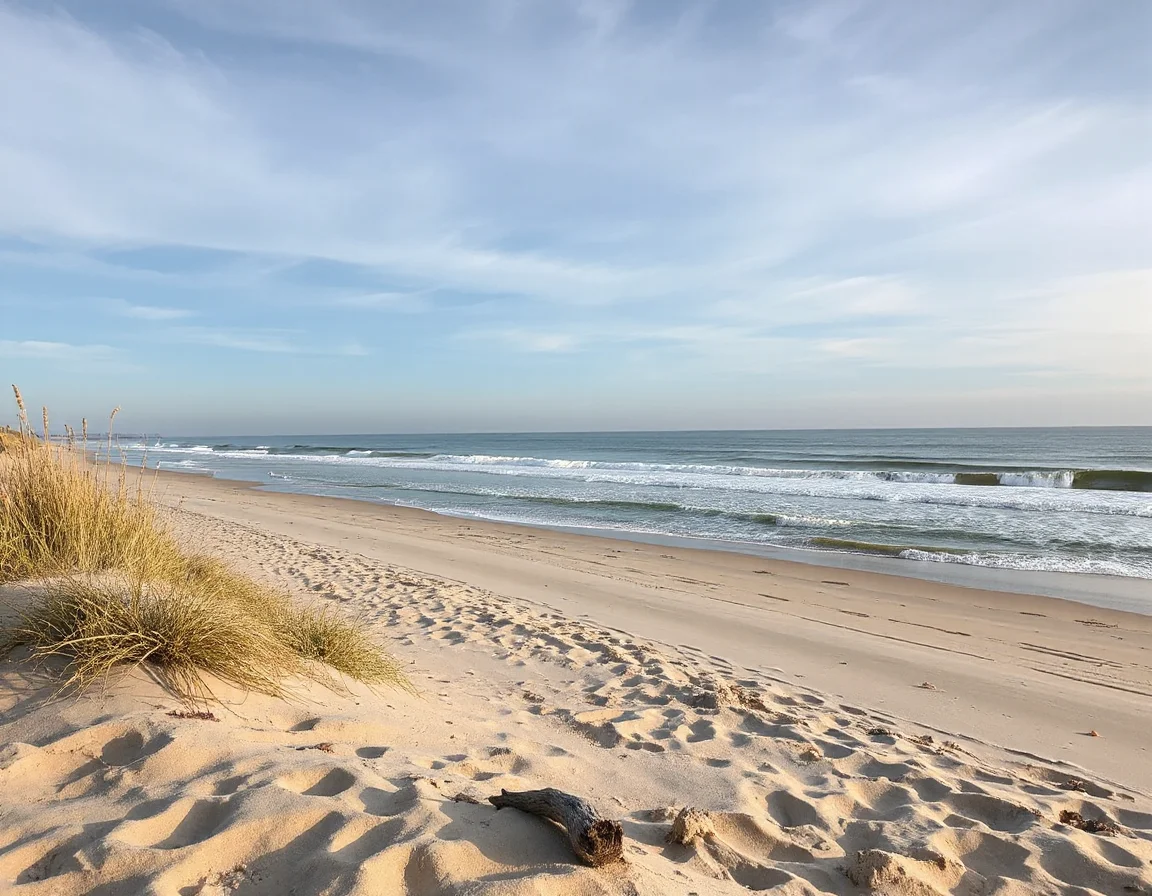
For buyers considering a primary residence, second home, or investment property, the most useful research is often practical. Visit at more than one time of day. Notice where parking is available, how long it takes to cross the bridge, where beach access points are located, and what the drive feels like during a weekday morning, a weekday afternoon, and a weekend. Coastal communities can feel very different during a quiet midweek visit than they do during a holiday period or a busy summer afternoon.
The island’s public beach is central to its sense of place, but beach conditions and access can change with tides, weather, erosion management, and local regulations. A walk along the shoreline, especially near sunrise or late afternoon, gives prospective buyers a close look at the island’s natural character. It is also a reminder that coastal ownership comes with specific considerations, including flood zones, insurance, storm preparation, building rules, and ongoing maintenance needs.
A commute that appears quick on a map can vary substantially around bridge openings, seasonal visitor traffic, weather events, and peak travel periods. Test the routes that matter most before you make an offer.
How to Research Schools and Attendance Information
School information is an important part of many home-search decisions, but it should be approached with current, source-based research rather than assumptions tied to an address. Sullivan’s Island is served by the Charleston County School District, and attendance assignments, enrollment procedures, transportation details, academic programs, and school boundaries may change over time. Buyers should confirm the most current information directly with the district and with the individual schools before relying on any listing description or online map.
Depending on the address and grade level, households may review options associated with Sullivan’s Island Elementary School as well as middle and high school pathways in the surrounding Charleston County system. The district also provides information on school choice, application timelines, special programs, transportation eligibility, calendars, and enrollment documentation. Because these details can be updated, a direct conversation with the appropriate district office is more reliable than a general statement about “zoned schools.”
When evaluating education-related logistics, consider the full routine rather than just the campus location. Look at departure times, bridge traffic, after-school schedules, extracurricular transportation, and the availability of bus service for a specific address. It can also be helpful to review official performance reports, school websites, meeting agendas, and current district announcements. These sources offer a clearer picture of programs and operations without relying on broad ratings alone.
A useful checklist:
- Confirm attendance assignment and enrollment requirements directly with Charleston County School District.
- Ask about transportation options, pickup locations, and estimated travel times for the relevant address.
- Review school calendars, program offerings, and application deadlines for choice or specialty programs.
- Consider how the daily route changes during seasonal traffic, bridge openings, and severe-weather planning.
For people relocating from outside the Charleston area, it is also worth separating school research from property research. A home may have exceptional architectural details, beach proximity, or harbor views, while the practical daily route to a school or activity may still require careful planning. Bringing both questions into the same due-diligence process helps create a more complete picture of the property and its location.
Parks, History, and Outdoor Space Close to Home
Public outdoor space is one of the island’s most visible amenities. Beach access points, coastal views, shaded streets, and open areas near the island’s historic sites provide many ways to spend time outside without leaving the community. Fort Moultrie, part of Fort Sumter and Fort Moultrie National Historical Park, adds a significant historic landmark to the southern end of the island. Its grounds and surrounding waterfront views make it a notable destination for walking, exploring local history, and observing Charleston Harbor.
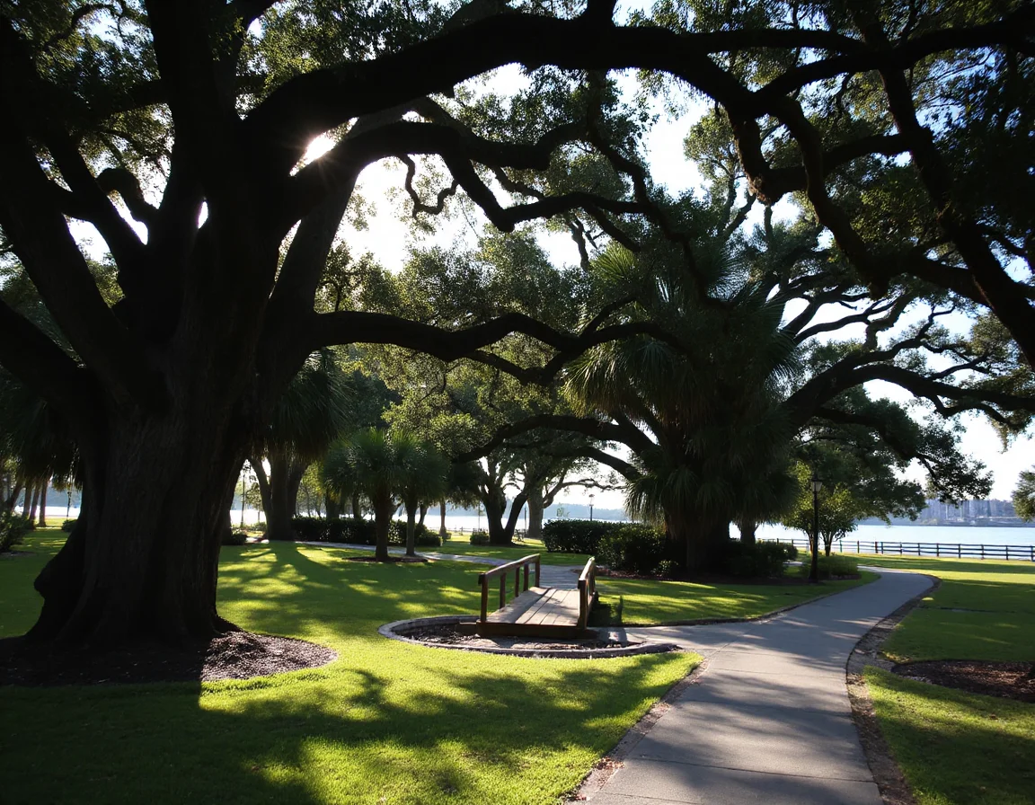
In addition to the beach and Fort Moultrie area, residents and visitors can explore island paths, public gathering areas, and nearby regional recreation in Mount Pleasant and Isle of Palms. Waterfront viewpoints, boating access in the wider Charleston area, golf facilities, and county parks are all part of the broader Lowcountry lifestyle. The right amenity mix depends on what you intend to use regularly, so a focused visit is more useful than a quick drive-through.
For example, buyers interested in outdoor recreation may want to compare proximity to the beach with access to marinas, public launches, walking routes, golf courses, and regional parks. Those considering a historic home may want to look closely at preservation requirements, elevation, renovation history, and the property’s relationship to flood zones. Waterfront and water-view homes can offer remarkable settings, but they also deserve detailed review of insurance, docks, shoreline conditions, easements, and maintenance responsibilities.
On a barrier island, proximity is only one part of convenience. The most valuable comparison is how often you expect to use a beach access point, park, bridge route, marina, or regional service in your normal weekly routine.
Search Sullivan’s Island listings
Plan Your Commute With Real-World Timing
The Ben Sawyer Bridge is the primary connection between Sullivan’s Island and Mount Pleasant, so it naturally plays an important role in travel planning. From the island, many trips toward downtown Charleston, medical centers, regional employment areas, airports, and services begin by heading through Mount Pleasant. The Ravenel Bridge provides the principal route from Mount Pleasant into downtown Charleston, while other destinations may require travel via Interstate 526 or surface roads farther inland.
There is no single “normal” commute time that applies to every address or destination. Bridge operations, construction, school schedules, special events, weather, and seasonal travel all affect the trip. If a particular commute is important, drive it in both directions at the relevant time. Navigation apps can help compare routes, but an in-person trial also reveals turn patterns, parking conditions, and the feel of the journey.
It is equally useful to map the routine stops that are easy to overlook during a showing: grocery stores, pharmacies, health care providers, fitness facilities, banking, pet services, hardware stores, and preferred recreation sites. Sullivan’s Island offers a distinctive coastal setting, while many day-to-day services are found in nearby Mount Pleasant and greater Charleston. Knowing where those trips fit into your schedule can clarify whether a specific location aligns with your priorities.
Make the Move With a Complete Picture
A Sullivan’s Island home search can begin with beaches, historic streets, and striking Lowcountry architecture, but the best decisions also account for the details that shape everyday life. Confirm school information through official sources, spend time in the parks and public spaces, check coastal and insurance considerations, and test the routes you expect to travel most often. Whether you are comparing a waterfront residence, a historic property, or a newer coastal home, thoughtful due diligence turns an appealing visit into an informed next step.