
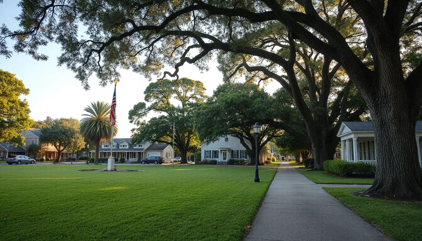
Sullivan’s Island rewards a slower look. Beyond its Atlantic shoreline, the island is shaped by walkable beach paths, maritime scenery, historic landmarks, and a distinctive collection of coastal homes. This guide highlights practical ways to explore its streets and public places while noticing the details that can matter when evaluating a home near the water.
Begin With the Island’s Everyday Geography
Sullivan’s Island sits at the entrance to Charleston Harbor, between the Atlantic Ocean and the Intracoastal Waterway. Its compact scale makes the landscape feel connected: sandy paths lead toward the beach, live oaks shade residential streets, and views can change quickly from maritime forest to open water. A visit is often less about checking off a list of attractions and more about taking time to notice the transition between these settings.
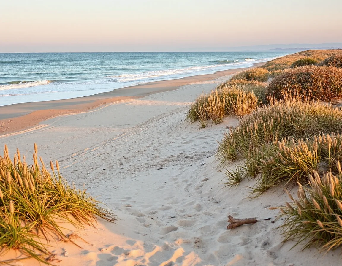
The numbered beach paths are a defining part of the island’s layout. These public access points offer a straightforward way to reach the shoreline while also helping visitors orient themselves along the island. Conditions vary by the day and season, so it is useful to check posted guidance, tides, parking rules, and beach-access information before heading out. Bringing water, sun protection, and footwear that works on sand can make an unhurried walk much more comfortable.
On the ocean side, the beach provides long views, changing light, and the constant sound of surf. On the harbor side, breezes, marsh edges, and passing boats create a different coastal experience. Neither setting is static: tides affect the appearance of the shoreline, winds shape the day’s atmosphere, and seasonal weather can change how people use outdoor spaces. For anyone considering a property here, those shifts are part of the practical appeal and responsibility of coastal ownership.
A beach-path walk at different times of day can reveal details that listing photos cannot: prevailing breezes, sun exposure, parking patterns, and the distance between a home and public access.
The island’s street pattern also encourages observation. Many homes are set back behind landscaping, porches, and mature trees, and the prevailing architectural language includes raised coastal construction, broad piazzas, shuttered windows, and materials selected for a humid, salt-air environment. Architectural styles and renovation levels vary substantially, so a close look at any property should extend beyond its visual presentation to include elevation, flood considerations, insurance, maintenance history, and local regulations.
Walk the Streets With an Eye for Coastal Architecture
A stroll away from the shoreline offers a clearer sense of how Sullivan’s Island combines historic character with contemporary coastal design. Some residences reflect older Lowcountry forms, with deep porches, simple rooflines, and proportions designed to support airflow and shade. Others use newer construction techniques while maintaining a restrained relationship to the island’s landscape. The result is not a single architectural style, but a varied streetscape shaped by climate, preservation, and individual design choices.
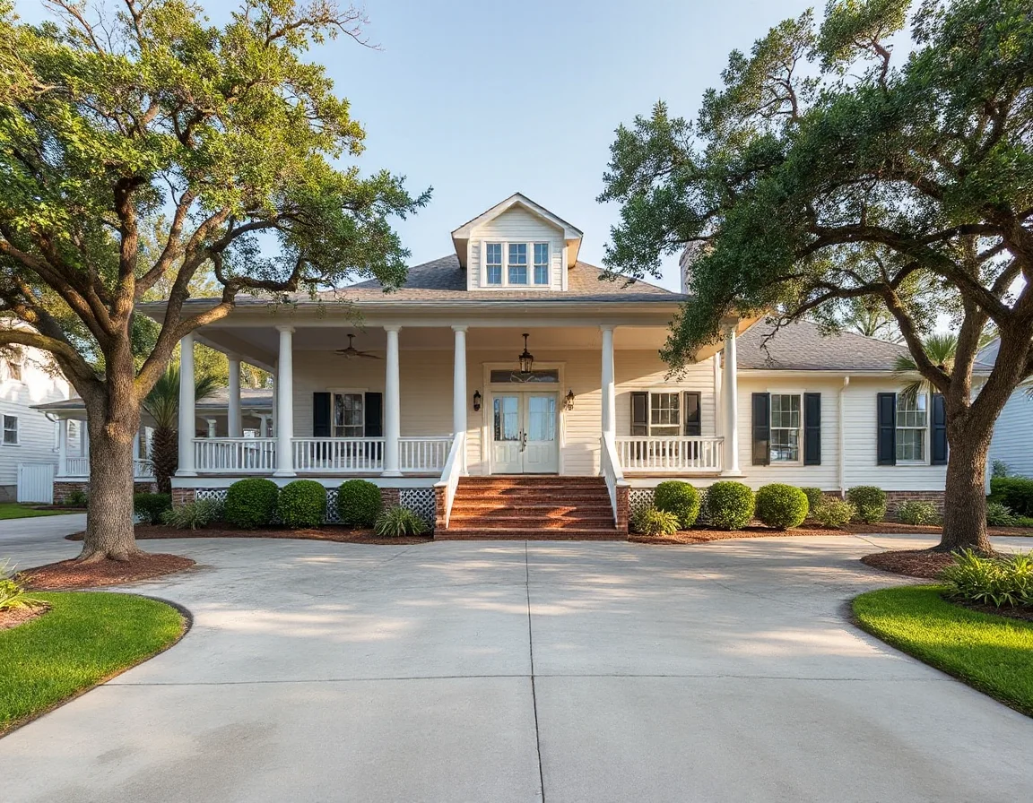
Porches deserve special attention. They are both an architectural feature and an outdoor room, offering a place to observe changing weather, catch a coastal breeze, or create a transition between indoors and outdoors. On properties closer to the ocean or harbor, owners may also consider how exposure to salt air, moisture, wind, and sun affects railings, windows, roofing, exterior paint, HVAC equipment, and landscaping over time.
Historic places give the island a useful context for these design choices. Fort Moultrie, part of the National Park Service’s Fort Sumter and Fort Moultrie National Historical Park, preserves a layered record of the island’s military history. Its grounds and exhibits provide an opportunity to understand why this location has long held strategic importance at the harbor entrance. The surrounding setting also offers broad water views and a reminder that Sullivan’s Island has evolved through many distinct eras.
When evaluating historic or older homes, buyers may want to ask specific questions about prior improvements, flood-zone information, permitting records, utility systems, and preservation-related review requirements where applicable. Older materials and original details can add character, while thoughtful updates may improve daily function and resilience. The strongest decision usually comes from balancing the home’s visual appeal with clear documentation and professional inspections.
Search Sullivan’s Island listings
Public spaces are another part of the experience. Island paths, beach access points, and landmark areas invite exploration on foot or by bicycle, while Charleston Harbor creates a visual connection to the broader region. Visitors can also find dining and gathering spots along the commercial corridor near Middle Street. Because local conditions and operating hours can change, it is wise to confirm current details before planning a visit.
Historic Places and Waterfront Perspective
The island’s history is inseparable from its waterfront position. Fort Moultrie offers one of the most direct windows into that story, with fortifications that span periods from the Revolutionary War through the twentieth century. Nearby views toward the harbor make the history tangible: this is a place where geography, navigation, defense, and coastal settlement have intersected for generations.
Another meaningful landmark is the Sullivan’s Island Lighthouse, commonly called the Charleston Light. Its modern, angular profile differs sharply from the traditional image of a lighthouse, yet it has become a recognizable part of the island’s visual identity. While access and viewing conditions should always be verified, the structure is a useful marker when exploring the eastern end of the island and considering how a home’s orientation relates to open sky, water, and prevailing weather.
Waterfront and near-water homes often come with a longer due-diligence list than inland properties. In addition to the ordinary inspection process, buyers may review flood maps, elevation certificates, insurance estimates, shoreline conditions, dock or access rights where relevant, and the condition of foundation and drainage systems. These are not reasons to avoid the coast; they are the practical details that help turn a beautiful setting into an informed purchase.
For sellers, the same perspective can support a stronger presentation. Clear records for improvements, maintenance, permits, insurance, and systems can help prospective buyers understand how the property has been cared for. A polished listing should also make room for the aspects that define coastal living: outdoor areas, storage for beach equipment, porches, views, access routes, and the home’s relationship to the island’s streets and shoreline.
Plan a Thoughtful Visit
The most useful way to explore Sullivan’s Island is to combine a beach walk with time on the residential streets and at a historic landmark. Start at a public access point, walk a few blocks inland, observe the architecture and landscaping, then continue toward Fort Moultrie or the harbor-facing areas. Repeating the route at another time of day can offer a more complete sense of light, traffic, wind, and activity.
Whether your interest is a historic residence, a newly built coastal home, or a property with water views, the island’s value lies in more than one feature. Its beach paths, maritime landscape, architectural variety, and layered history create a setting that is best understood in person and evaluated with careful local research. A well-planned visit can turn an initial impression into useful insight for the next step in your Charleston-area home search.