

Buying on Sullivan’s Island means evaluating much more than a home’s finishes and ocean views. Flood-zone designation, finished-floor elevation, insurance options, and property-specific documentation can all shape the total cost and long-term ownership plan. This guide outlines the questions to ask early so you can compare island properties with greater clarity.
Why Flood Planning Is Part of the Sullivan’s Island Search
Sullivan’s Island is a coastal barrier island at the entrance to Charleston Harbor, where the Atlantic Ocean, tidal creeks, marshes, rainfall, and storm systems all influence how property is evaluated. That setting is central to the area’s appeal, but it also means purchasers should make flood diligence a standard part of every showing, offer, and inspection period. A home can be beautifully maintained and still require detailed review of its elevation, flood zone, drainage features, and insurance history.
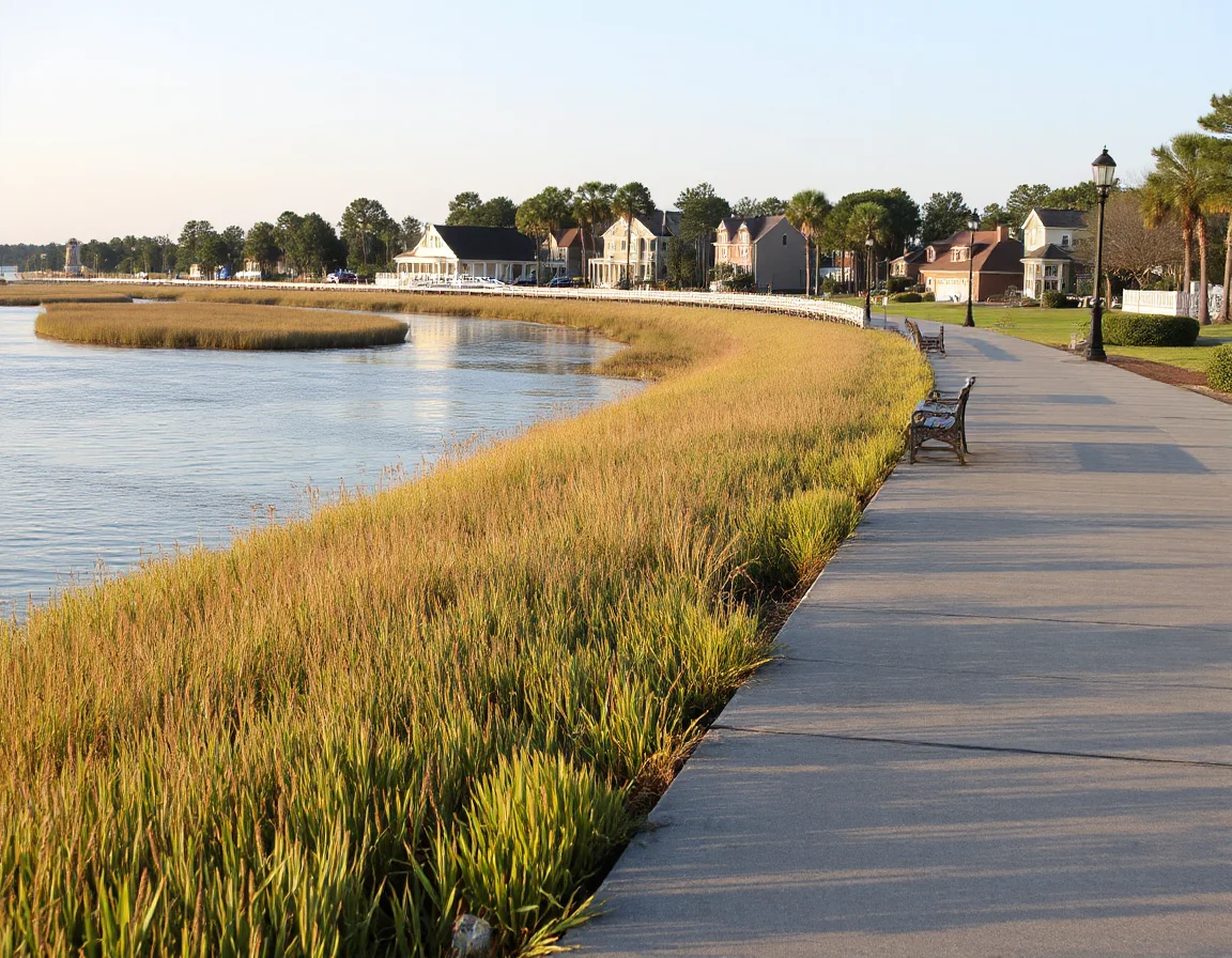
Flood maps are an important starting point, not the whole story. FEMA Flood Insurance Rate Maps identify mapped flood hazard areas and may designate a property as being in a Special Flood Hazard Area, commonly shown with zone labels such as AE or VE. Lenders generally require flood insurance for a mortgage on a structure located in a mapped Special Flood Hazard Area, although the precise requirement depends on the loan type, lender, and current map information.
Island properties may differ substantially from one block to the next. Two homes with similar square footage can have very different elevations, construction dates, flood-zone designations, or exposure to tidal water. Oceanfront, marshfront, interior, and creek-adjacent locations each call for a property-by-property review rather than broad assumptions based on a street name or listing category.
The most useful early comparison is not simply “in a flood zone” versus “out of a flood zone.” Compare the map zone, base flood elevation, finished-floor elevation, insurance quote, prior claims disclosure, and planned improvements for each specific property.
It is also worth remembering that flood maps can change over time. Map updates, new elevation information, renovations, additions, and changes to insurance programs can affect the conversation. For that reason, prospective buyers should request current documents and quotes during due diligence instead of relying on an older listing description or a prior owner’s policy premium.
How to Read Flood Zones Without Oversimplifying Them
Flood-zone terminology can feel technical, but the practical goal is straightforward: understand the property’s mapped risk category and the elevation standard used for comparison. An AE zone generally indicates a coastal floodplain with a Base Flood Elevation, while a VE zone is associated with coastal high-hazard areas where wave action is a factor. Other zones may represent moderate or lower mapped flood risk, but no map designation guarantees that flooding cannot occur.
The Base Flood Elevation, often called BFE, is a benchmark shown on applicable FEMA mapping. It is not automatically the height of water that will reach a particular house during every event. Instead, it is a reference point used in floodplain management, construction standards, insurance rating, and property evaluation. The finished-floor elevation tells a different part of the story: how high the home’s lowest finished floor sits relative to that benchmark.
For elevated coastal homes, the layout below the living area matters as much as the visible architecture. Open parking, storage, breakaway enclosures, utility placement, stairs, and mechanical equipment may all affect risk, code considerations, and insurability. If a lower enclosure has been finished or altered, buyers should ask whether the work was permitted and whether it aligns with applicable floodplain rules.
- Request the current FEMA flood map panel and verify the property’s map designation.
- Ask for an elevation certificate when available, especially for homes in mapped flood hazard areas.
- Review the lowest-floor and equipment elevations rather than relying only on the height of the main living level.
- Confirm renovation permits and records for enclosed ground-level areas, additions, and substantial improvements.
- Discuss the property with an insurance professional before the end of the inspection period.
A surveyor, engineer, qualified inspector, insurance professional, and real estate attorney can each provide perspective within their area of expertise. Their input can help turn a complex set of documents into a practical ownership picture. The point is not to predict every future weather event; it is to understand the home’s documented characteristics, available insurance options, and financial exposure before finalizing a purchase.
Search Sullivan’s Island listings
Insurance Costs: What Can Influence the Quote
Flood insurance pricing is highly property-specific. A premium may be influenced by the flood zone, elevation relative to the Base Flood Elevation, foundation type, replacement cost, deductible selection, coverage limits, prior claims information, and insurer underwriting. Coverage may be available through the National Flood Insurance Program, private insurers, or a combination of options depending on the property and lender requirements.
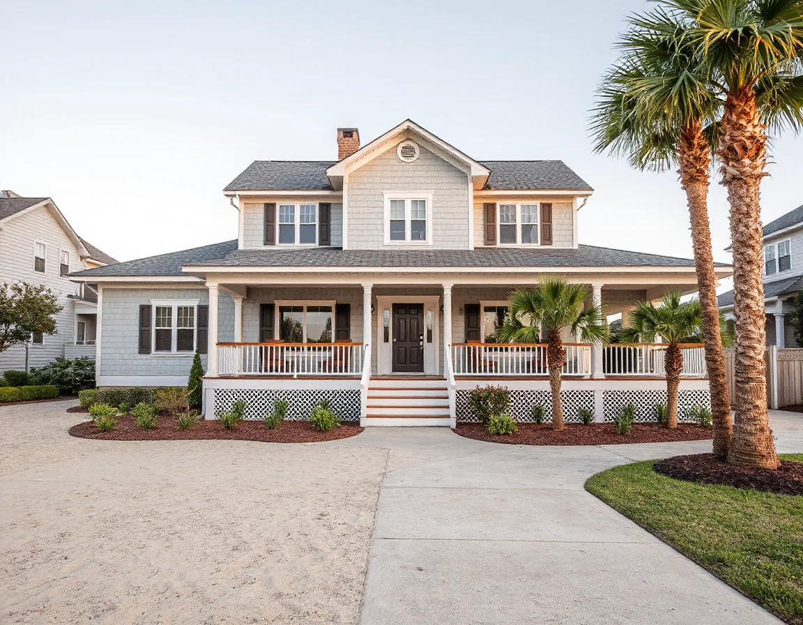
Do not treat the seller’s current premium as a guaranteed estimate for a new owner. Policies may be based on prior coverage choices, policy dates, grandfathering provisions, coverage limits, deductibles, and personal underwriting details that do not transfer. Requesting quotes in your own name, using the actual purchase price and intended coverage structure, is a more reliable way to budget.
Flood insurance is also only one line item. Coastal homeowners may need to consider wind and hail coverage, homeowners insurance, deductibles for named storms, liability coverage, and any policy requirements tied to a mortgage. Availability, exclusions, deductibles, and premiums vary, so purchasers benefit from contacting insurance providers early—ideally before an offer is written or immediately after it is accepted.
For homes with older features, buyers may also want to ask about replacement-cost assumptions and whether existing systems could affect underwriting. Roof age, windows, exterior materials, electrical equipment, plumbing, generators, HVAC placement, and foundation details can all be relevant to an insurer’s review. A clear insurance file can also be useful when planning future renovations or comparing several island homes at once.
Build an insurance-review deadline into the contract timeline. Waiting until the final days of due diligence can leave little room to compare coverage limits, deductibles, and available carriers.
Elevation Questions to Ask Before You Make an Offer
An elevation certificate is often one of the most valuable documents for an island property, though its availability and relevance can vary. It may show the building’s reference level, the elevation of the lowest floor, machinery and equipment elevations, foundation details, and flood-map information used at the time it was prepared. If an existing certificate is older, a buyer may still want professional guidance on whether updated documentation is appropriate.
Ask the seller for documentation related to prior flooding, repairs, mitigation improvements, drainage work, and insurance claims, subject to applicable disclosure rules. Also review visible site conditions with qualified professionals: grading, foundation vents, under-house storage, exterior utility equipment, bulkheads, retaining features, and drainage routes. These observations should lead to informed questions, not assumptions.
When comparing homes, consider the full ownership equation. A lower purchase price may be paired with higher recurring insurance costs or a larger future mitigation project. Conversely, a home with thoughtful elevation, resilient materials, elevated systems, and well-documented updates may offer a different cost profile even when the initial price is higher. A careful comparison should include purchase price, estimated annual insurance, maintenance needs, financing terms, and planned improvements.
Charleston Realty can help organize the property details that matter in a Sullivan’s Island search, from available elevation certificates and permits to listing-specific questions for sellers and agents. White-glove guidance is especially valuable when buyers are weighing several coastal properties with different construction styles and exposure characteristics.
Explore Sullivan’s Island real estate
A Clearer Path to Coastal Ownership
Flood zones and elevation records should not take the enjoyment out of considering Sullivan’s Island real estate; they should make the decision more informed. The island’s beaches, maritime landscape, historic character, harbor access, and distinctive architecture are best appreciated with a clear understanding of the practical details that come with coastal ownership.
Before moving forward, gather the map information, request documentation, consult qualified insurance and inspection professionals, and compare the total cost of ownership across your preferred properties. With the right questions asked early, buyers can approach the process with confidence and focus on finding a home that aligns with their goals, budget, and plans for the years ahead.